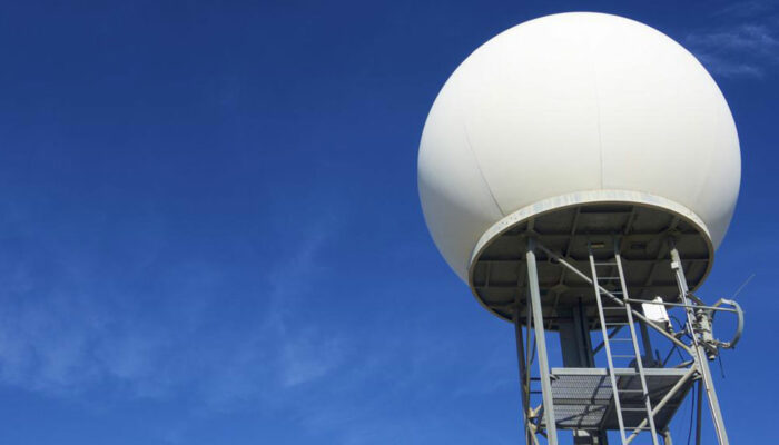
Weather radar and their role in weather prediction
Also called as weather surveillance radar (WSR) or Doppler weather radar, Weather radar, are the ones that are used to locate precipitation, calculate its motion, and estimate its type (rain, snow, hail etc. weather radars that are manufactured nowadays are mostly pulse-Doppler radars. These weather radars are capable of detecting rain droplets motions.

Radar operators during World war II noticed that weather parameters were causing echoes in the signals appearing on their screen, which masked potential enemy targets. Techniques were developed to filter these anomalies. This led scientists to study the phenomenon. Soon after, many radars were used to detect precipitation. Weather radars since then have evolved and are now used by national weather services, research departments in universities, and television newscasts. Specialized software can take radar data and make short term forecasts of future positions and intensities of rain, snow, hail, and other weather phenomena. Radar output is even incorporated into numerical weather prediction models to improve analyses and forecasts.
Weather radars use microwave radiation as their source of propagation. They send directional pulses that are of the order of a microseconds using a cavity magnetron or klystron tube that is connected to a parabolic antenna. The radiation so generated is of wavelength of the order 1^10cm, approximately ten times the diameter of the droplets or ice. This means that part of the energy of each pulse will bounce off these small particles, back in the direction of the weather radar station.
Shorter wavelengths are useful for smaller particles, but the signal is more quickly attenuated. Thus 10 cm (S-band) radar is preferred although expensive than a 5cm C-band system. 3cm X-band radar is used only for short-range units, and 1cm Ka-band weather radar is used only for research on small-particle phenomena such as drizzle and fog.
Radar pulses spread out as they move away from the radar station. Thus the volume of air that a radar pulse is traversing is larger for areas farther away from the station, and smaller for nearby areas, decreasing resolution at far distances. At the end of a 150 200 km sounding range, the volume of air scanned by a single pulse might be on the order of a cubic kilometer, which is called pulse monitoring.


